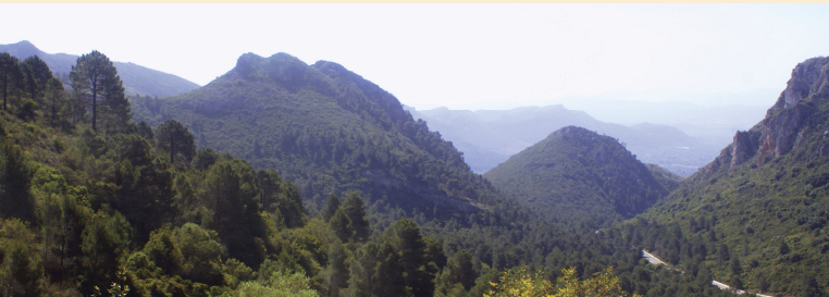
The Monduver massif located 50 km to the south-east of Valencia city has a well-developed Karst geomorphology and where it stands out the Barx Polje. The Highest point of the Massif, Moduver 841 m a.s.l., is just 10 km inland from the Mediterranean coast. The Parpallo Cave located at the southern part of the polje is one of the most important Palaeolithic sites, not only in Spain, but in the world due to the collection of decorated plaquettes of Palaeolithic portable art. The collection covers the entire archaeological sequence from the Gravettian to the Magdalenian periods (26000–11000 years BP). The Barx polje has two subbasins: Barx to the north and La Drova to the south, and the second one is partly capture at the south by the Caldereta Creek. In this work is proposed than the La Drova subbasin was formed by a major landslide of the western side of the Monduver massif producing a natural dam of the Les Voltes Creek. Lately, the La Drova subbasin was filled by the terra rossa product of the limestone dissolution of the polje basin, as can be see today in the sides of the captured La Drova subbasin. The filling of the subbasin was to a level higher that the Barx subbasin as the today drainage of the uncaptured La Drova runs to this last one. Three 3d model landscape figures has been made to explain its evolution. The archeological sequence of the Parpallo Cave could be related with the infilling of the subbasin period and the landslide could take place before the human use of the cave.

Cite as: Tent-Manclús, J. E. y Jordá Guijarro, J. (2021): Monduver Paleolandslide as its relationship with the human use of the Parpalló Cave (Valencia province, Spain). LAC1+1, Landscape archaeology conference, 8-11 june 2021 Book of Abstracts. 14 p.

Recent Comments